
INSIGHT
The increasing value of real-time data for location intelligence
Connect with us
Railroads are a perfect example of why location matters. Railroads, like other linear infrastructure including electric transmission and pipelines, are a connected network, moving materials and power from one point to another. Each point on the network is connected to every other point, whether it is a switch, tower or pump.
The geospatial professionals at Bartlett & West promote the value of using location intelligence as a foundational element in understanding the network. Location is the common denominator where knowledge can and should be accessed and shared.
Everyday questions about when a delivery is going to arrive, what is the condition of an asset, how maintenance will get completed and which crew from the railroad is best positioned to conduct work all must answer a question of “where” to get the best result.
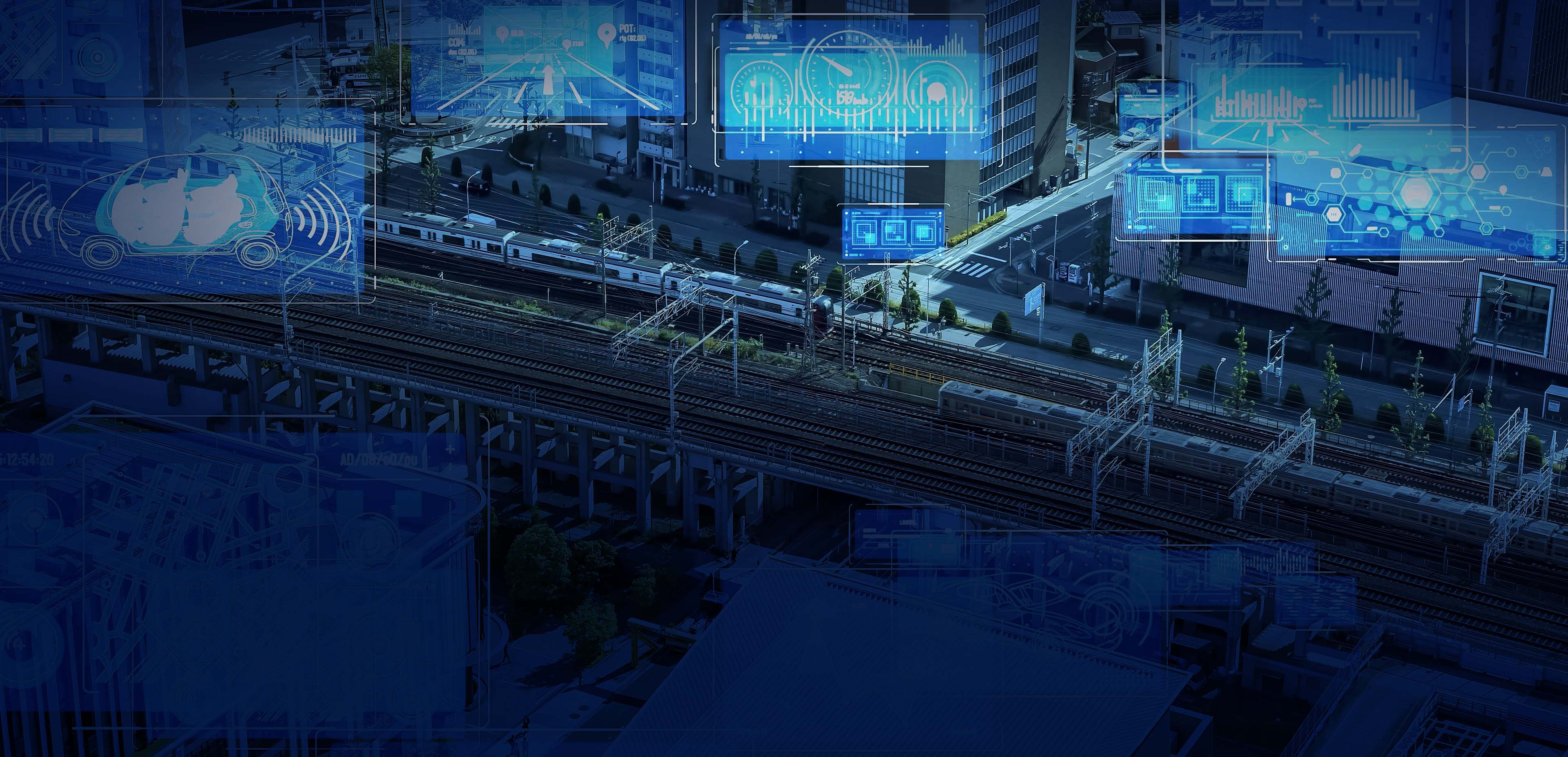
Systems of monitoring and data dissemination that improve the connectedness and availability of real-time and near-real-time data are advancing continuously to give us access to information that did not exist or was not available before. Further, we are increasing our ability to record a location and asset status and later revisit that location to determine change accurately. The Internet of Things has also advanced our ability to understand the state of network assets through devices that are continuously monitoring conditions.
A primary goal of railroads is maintaining safe operations and working conditions. Knowing track and rail bed conditions is crucial to running a safe railroad.
Railroads are building sophisticated models that use real-time and near-real-time data to improve track inspections. For example, weather services can provide real-time weather information down to local levels. Detailed data on temperature and precipitation are useful when modeling the effects of weather on physical systems. Analyzing this data at every location over time informs predictions such as subgrade degradation and flooding potential. Combining this information with other data, including tonnage records and geometry car data, allows railroads to anticipate where defects may occur so that inspections, maintenance and repair can be performed at the right location at the right time.
Transit railroads in California are integrating federal government-produced, real-time earthquake data with existing positive train control (PTC) systems on board locomotives. Metrolink’s Earthquake Early Warning System (EEW) receives alerts from the USGS ShakeAlert® system, which may then automatically slow or stop trains in the event of an earthquake. The ShakeAlert® system processes ground sensor data in real-time from earthquakes that have already started to determine location, magnitude and shaking intensity. If the intensity of an earthquake becomes high enough to meet the USGS thresholds, a ShakeAlert® message is issued to partners.
Freight railroads continue working on ways to use location and time-based data to improve operations. RailPulse™ is a coalition of rail car owners that are developing and integrating technologies, including GPS, to increase safety, efficiency and visibility in the rail industry. The RailPulse™ platform will provide real-time data on railcar location (latitude/longitude at track level) condition (loaded/unloaded, temperature and impact) and mechanical health. Improved fleet management, greater visibility of shipment status for customers and railroads, a more efficient rail supply chain and greater competitiveness are a few of the benefits RailPulse™ is designed to deliver.
Bartlett & West is an engineering and geospatial technology company that works with railroads to combine emerging technologies with their mission-critical business systems and data. We help companies at all phases in their digital evolution: taking the first step from paper to digital - leveraging data to help engineering, real estate, environmental and operations - even planning and integrating systems like the examples above, where real-time location intelligence brings maximum value to decision makers.
Tell us about your project
We’d love to work with you. Tell us the services you are seeking and one of our team members will connect with you.