Project Detail
Protecting natural resources while improving highway safety
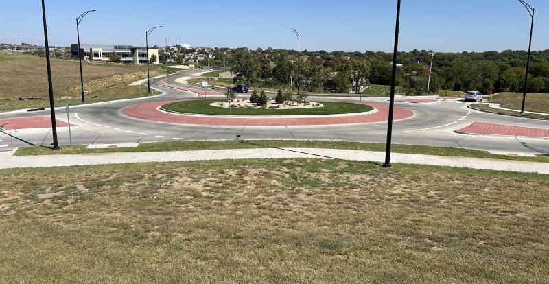
Farm-to-Market (FM) 664 in the cities of Waxahachie and Ovilla is a two-lane roadway with minimal shoulders, and open ditches for drainage. The roadway cannot accommodate current or future traffic volumes and has several 90-degree turns. There are no dedicated turn lanes or bicycle and pedestrian facilities. The proposed FM 664 is an 8-mile-long widening project that would convert the rural roadway to an urban roadway with curb and gutter. The roadway capacity would be increased by the addition of 2 to 6, 11-foot to 12 foot-wide travel lanes, 14-foot-wide outside shared-use lanes for bicyclists and motorists, and 11-foot-wide dedicated left-turn and right-turn lanes for improved safety. The project would construct 6-foot-wide sidewalks with ADA ramps in both directions for pedestrians. Because of the potential impacts to the human or natural environment, the project was classified as an Environmental Assessment.
Challenges
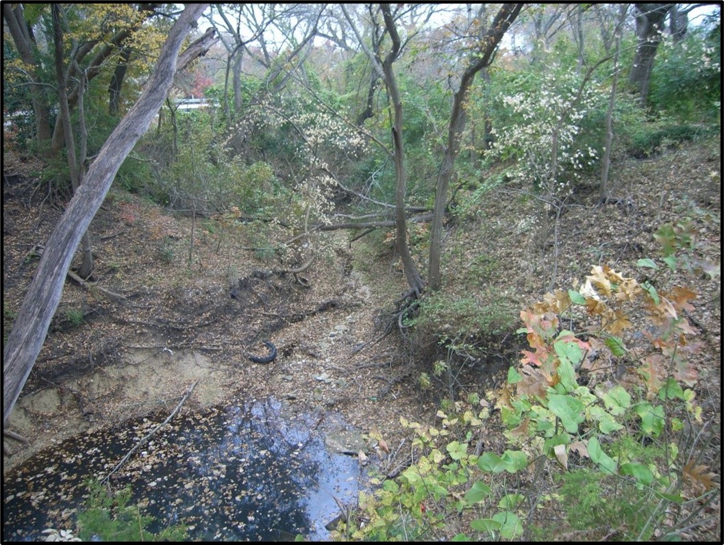
The design to eliminate the existing roadway’s 90-degree turns required approximately 1.7 miles of the project to be on new location, which increased its potential to impact biological resources. The project crossed a tributary to Red Oak Creek and required channelization to install a culvert. The City of Ovilla’s Heritage Park, a Section 4(f) property, is adjacent to the Tributary and would also be impacted by the project. Section 4(f) properties are protected lands. Impacting them is discouraged, and can require lengthy coordination with the U.S. Department of Interior and additional public involvement.
Solutions
Early in the project’s design stage, the Environmental Team at Civil Associates Inc., a Bartlett & West company (CAI) performed a desktop constraints analysis to identify areas of the project with the potential to support sensitive biological resources such as native prairie remnants, habitats for special species, and wetlands. A detailed field investigation was conducted to identify biological resources and delineate waters of the U.S. including wetlands. Community facilities, hazardous materials sites, and potential displacements were also catalogued and photographed.
Value
Based on the desktop constraints and field data, the CAI Environmental Team coordinated with the designers to shift the alignment where practicable to avoid and minimize potential impacts. As a result, the impacts to biological resources were minor. The culvert channelization impacts to the Red Oak tributary were minimized such that an Individual Section 404 Permit was avoided. Instead, a less costly and time-consuming Nationwide Permit 14 with Pre-construction Notification could be authorized by the U.S. Army Corps of Engineers. The project impacts to Heritage Park were reduced and a 4(f) de-minimus for no adverse park effects was authorized, which avoided substantial coordination and delay. The CAI Environmental Team also guided the execution of public involvement activities in accordance with Chapter 26. Texas Parks & Wildlife Code – a key oversight agency condition for impacted parks.
Related Projects
Tell us about your project
We’d love to work with you. Tell us the services you are seeking and one of our team members will connect with you.