Project Detail
Mobile LiDAR
Challenge
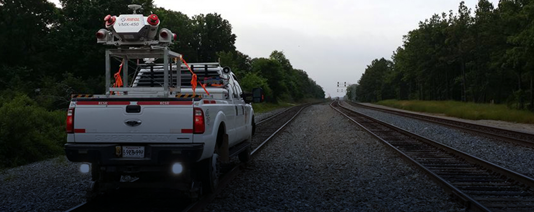
Railroads have a growing need for complete and accurate asset data. Regulations like positive train control (PTC) require high spatial accuracy for the defined PTC features.
Solution
Mobile LiDAR is perfect for mapping rail corridors, with the capacity to provide measurements at a rate of up to 1.1 million per second. Bartlett & West has the capabilities to mount it’s mobile LiDAR unit to a vehicle or a train locomotive in order to run on and map the track and surrounding area.
Value
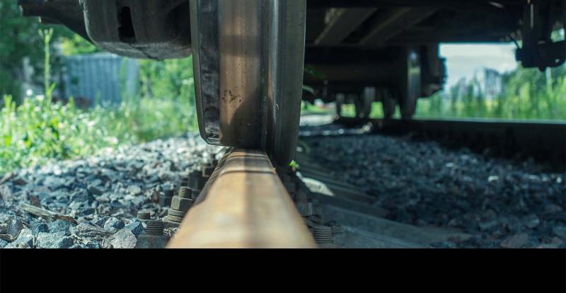
Bartlett & West delivers accurate, quality spatial data via data processing, feature extraction and attribution from the captured LiDAR data. We provide 100% quality control of all collected spatial data, and load the data into an enterprise GIS while integrating it with other data management systems.
Related Projects

Tell us about your project
We’d love to work with you. Tell us the services you are seeking and one of our team members will connect with you.